Elder Way, Chesterfield, Derbys.
Introduction
The photograph on this page of Elder Way, Chesterfield, Derbys. by David Hallam-Jones as part of the Geograph project.
The Geograph project started in 2005 with the aim of publishing, organising and preserving representative images for every square kilometre of Great Britain, Ireland and the Isle of Man.

There are currently over 7.5m images from over 14,400 individuals and you can help contribute to the project by visiting https://www.geograph.org.uk
Elder Way, Chesterfield, Derbys.
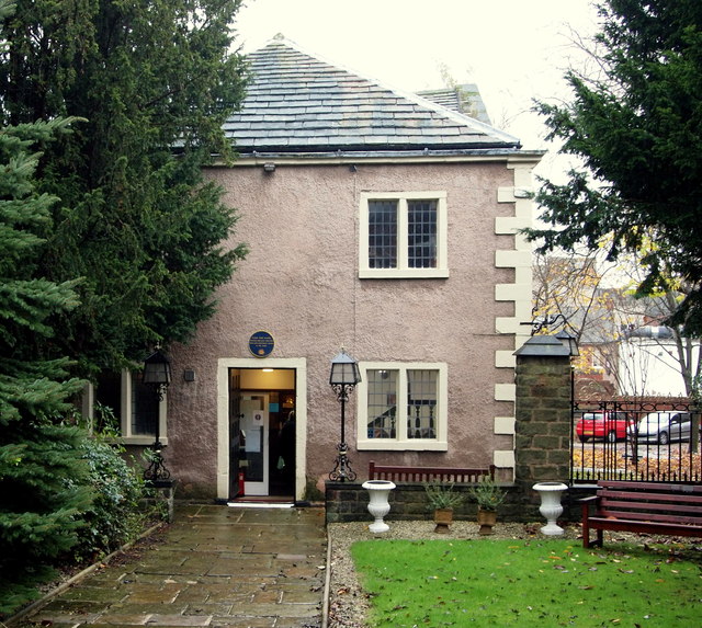
Image: © David Hallam-Jones Taken: 22 Nov 2014
The Grade II* listed Unitarian Chapel dating from 1694. This is the west facade that faces Elder Way.
Images are licensed for reuse under creativecommons.org/licenses/by-sa/2.0
Image Location
Latitude
53.236817
Longitude
-1.427626