Rosebush: Maenclochog
Introduction
The photograph on this page of Rosebush: Maenclochog by Dylan Moore as part of the Geograph project.
The Geograph project started in 2005 with the aim of publishing, organising and preserving representative images for every square kilometre of Great Britain, Ireland and the Isle of Man.

There are currently over 7.5m images from over 14,400 individuals and you can help contribute to the project by visiting https://www.geograph.org.uk
Rosebush: Maenclochog
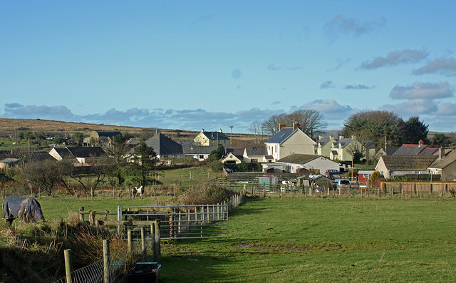
Image: © Dylan Moore Taken: 23 Nov 2014
Although there were quarrymen's cottages further up the valley, there was no settlement here until the railway was built. Quarrying ceased in the 1890s, and the Great Western railway rather desperately tried to promote the place as a resort to drum up trade for the railway.
Images are licensed for reuse under creativecommons.org/licenses/by-sa/2.0
Image Location


Leaflet Map data © OpenStreetMap
Latitude
51.928275
Longitude
-4.801118