Junction of Youngstroat Lane and Chertsey Road
Introduction
The photograph on this page of Junction of Youngstroat Lane and Chertsey Road by Shazz as part of the Geograph project.
The Geograph project started in 2005 with the aim of publishing, organising and preserving representative images for every square kilometre of Great Britain, Ireland and the Isle of Man.

There are currently over 7.5m images from over 14,400 individuals and you can help contribute to the project by visiting https://www.geograph.org.uk
Junction of Youngstroat Lane and Chertsey Road
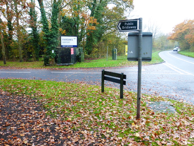
Image: © Shazz Taken: 22 Nov 2014
Although Youngstroat Lane is a public bridleway there is a misleading sign to the effect of "no public access". There have been changes since 2010 to the airport and bridleway signs but not to the misleading sign. See http://www.geograph.org.uk/photo/1836213.
Images are licensed for reuse under creativecommons.org/licenses/by-sa/2.0
Image Location
Latitude
51.350621
Longitude
-0.56471