Cycle path beside Dawson Lane (B5248)
Introduction
The photograph on this page of Cycle path beside Dawson Lane (B5248) by JThomas as part of the Geograph project.
The Geograph project started in 2005 with the aim of publishing, organising and preserving representative images for every square kilometre of Great Britain, Ireland and the Isle of Man.

There are currently over 7.5m images from over 14,400 individuals and you can help contribute to the project by visiting https://www.geograph.org.uk
Cycle path beside Dawson Lane (B5248)
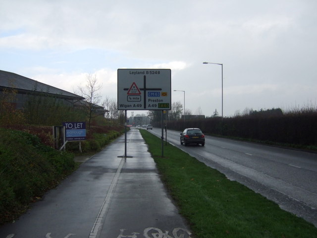
Image: © JThomas Taken: 22 Nov 2014
Heading west into Leyland. Signage could have been better thought out.
Images are licensed for reuse under creativecommons.org/licenses/by-sa/2.0
Image Location
Latitude
53.687524
Longitude
-2.67197