Northwest on an unnamed passage between West Street and Abbots Way, Warwick
Introduction
The photograph on this page of Northwest on an unnamed passage between West Street and Abbots Way, Warwick by Robin Stott as part of the Geograph project.
The Geograph project started in 2005 with the aim of publishing, organising and preserving representative images for every square kilometre of Great Britain, Ireland and the Isle of Man.

There are currently over 7.5m images from over 14,400 individuals and you can help contribute to the project by visiting https://www.geograph.org.uk
Northwest on an unnamed passage between West Street and Abbots Way, Warwick
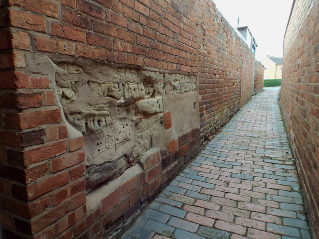
Image: © Robin Stott Taken: 20 Sep 2013
Preserved and pointed masonry is exposed in the brick wall on the left. Brick paving is unusual in Warwick: a survival, perhaps
Images are licensed for reuse under creativecommons.org/licenses/by-sa/2.0
Image Location
Latitude
52.279022
Longitude
-1.592185