Avon west of Holloway Bridge, Malmesbury
Introduction
The photograph on this page of Avon west of Holloway Bridge, Malmesbury by Jaggery as part of the Geograph project.
The Geograph project started in 2005 with the aim of publishing, organising and preserving representative images for every square kilometre of Great Britain, Ireland and the Isle of Man.

There are currently over 7.5m images from over 14,400 individuals and you can help contribute to the project by visiting https://www.geograph.org.uk
Avon west of Holloway Bridge, Malmesbury
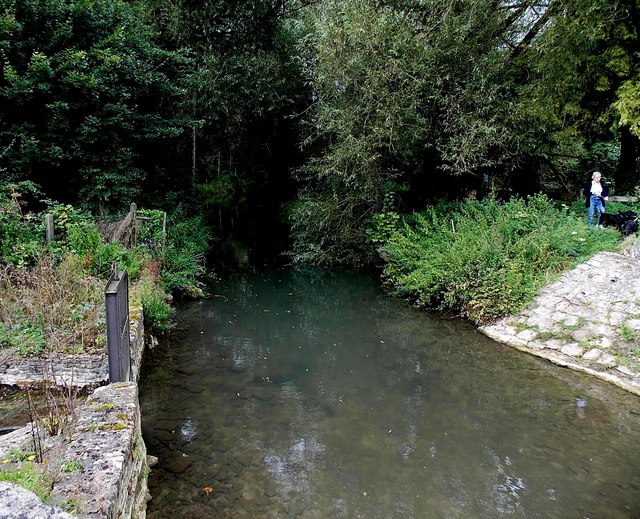
Image: © Jaggery Taken: 17 Aug 2014
The River Avon (Tetbury Branch) viewed from here.http://www.geograph.org.uk/photo/4254204 A sluice gate http://www.geograph.org.uk/photo/4254297 is on the left.
Images are licensed for reuse under creativecommons.org/licenses/by-sa/2.0
Image Location
Latitude
51.586048
Longitude
-2.093769