Beetwell Street, Chesterfield, Derbys.
Introduction
The photograph on this page of Beetwell Street, Chesterfield, Derbys. by David Hallam-Jones as part of the Geograph project.
The Geograph project started in 2005 with the aim of publishing, organising and preserving representative images for every square kilometre of Great Britain, Ireland and the Isle of Man.

There are currently over 7.5m images from over 14,400 individuals and you can help contribute to the project by visiting https://www.geograph.org.uk
Beetwell Street, Chesterfield, Derbys.
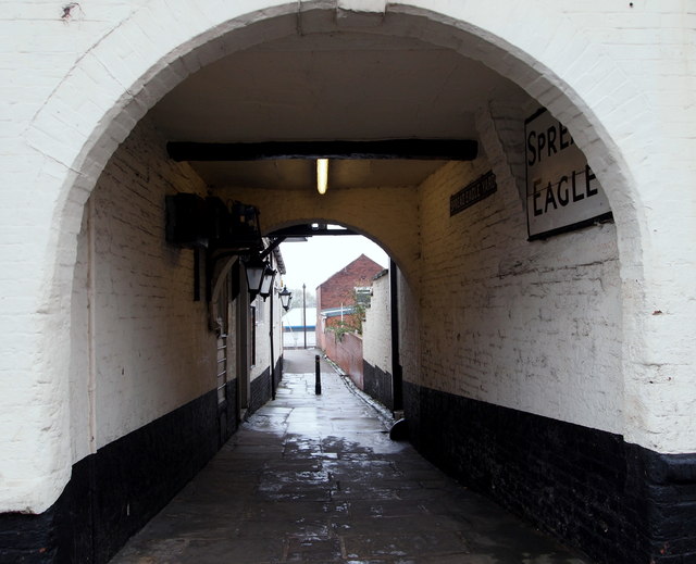
Image: © David Hallam-Jones Taken: 22 Nov 2014
The arched carriageway entrance under the west side of "The Spread Eagle" pub, with access to Markham Road (the A619) in the distance. The pub is Grade II-listed on account of its late C18th/early C19th façade and this archway, amongst other features.
Images are licensed for reuse under creativecommons.org/licenses/by-sa/2.0
Image Location
Latitude
53.234026
Longitude
-1.426764