Farm buildings at Hurbuck
Introduction
The photograph on this page of Farm buildings at Hurbuck by Trevor Littlewood as part of the Geograph project.
The Geograph project started in 2005 with the aim of publishing, organising and preserving representative images for every square kilometre of Great Britain, Ireland and the Isle of Man.

There are currently over 7.5m images from over 14,400 individuals and you can help contribute to the project by visiting https://www.geograph.org.uk
Farm buildings at Hurbuck
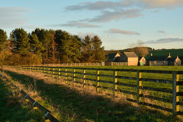
Image: © Trevor Littlewood Taken: 22 Nov 2014
Hurbuck is a farm west of Lanchester. The buildings are seen from the access road for the farm which is also the route of the Lanchester Valley Railway Path and a bridleway. Signs instruct horses, (or their riders), that they should use the grassy line between the field fence and the lower one rather than the tarmac from which the image was recorded.
Images are licensed for reuse under creativecommons.org/licenses/by-sa/2.0
Image Location
Latitude
54.829614
Longitude
-1.784998