Golygfa'r Eglwys in Pontypridd
Introduction
The photograph on this page of Golygfa'r Eglwys in Pontypridd by Jaggery as part of the Geograph project.
The Geograph project started in 2005 with the aim of publishing, organising and preserving representative images for every square kilometre of Great Britain, Ireland and the Isle of Man.

There are currently over 7.5m images from over 14,400 individuals and you can help contribute to the project by visiting https://www.geograph.org.uk
Golygfa'r Eglwys in Pontypridd
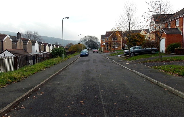
Image: © Jaggery Taken: 19 Nov 2014
Looking ESE from near this http://www.geograph.org.uk/photo/4254069 entrance to Barry Sidings Country Park. The houses on the south (right) side of Golygfa'r Eglwys are opposite the backs of houses in Seaton Street, behind railings.
Images are licensed for reuse under creativecommons.org/licenses/by-sa/2.0
Image Location
Latitude
51.601873
Longitude
-3.350401