Barry Road allotments, Pontypridd
Introduction
The photograph on this page of Barry Road allotments, Pontypridd by Jaggery as part of the Geograph project.
The Geograph project started in 2005 with the aim of publishing, organising and preserving representative images for every square kilometre of Great Britain, Ireland and the Isle of Man.

There are currently over 7.5m images from over 14,400 individuals and you can help contribute to the project by visiting https://www.geograph.org.uk
Barry Road allotments, Pontypridd
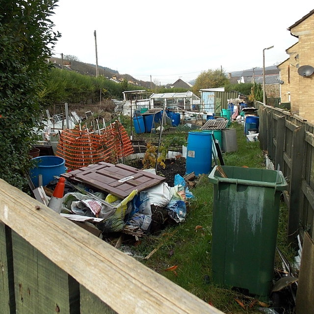
Image: © Jaggery Taken: 19 Nov 2014
This is the SE (Pwllgwaun Road) end of a 100 metre long narrow strip of allotments alongside Barry Road. The allotments are owned by Rhondda Cynon Taf Council.
Images are licensed for reuse under creativecommons.org/licenses/by-sa/2.0
Image Location
Latitude
51.602948
Longitude
-3.350722