Sleaford North level crossing
Introduction
The photograph on this page of Sleaford North level crossing by Alan Murray-Rust as part of the Geograph project.
The Geograph project started in 2005 with the aim of publishing, organising and preserving representative images for every square kilometre of Great Britain, Ireland and the Isle of Man.

There are currently over 7.5m images from over 14,400 individuals and you can help contribute to the project by visiting https://www.geograph.org.uk
Sleaford North level crossing
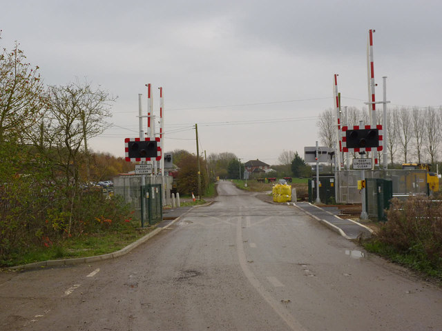
Image: © Alan Murray-Rust Taken: 19 Nov 2014
This was upgraded in April 2014 to remotely operated barriers with obstacle detection, enabling the adjacent signal box http://www.geograph.org.uk/photo/4253806 to be taken out of service.
Images are licensed for reuse under creativecommons.org/licenses/by-sa/2.0
Image Location
Latitude
53.010654
Longitude
-0.389517