Dozmary Cottage, Painswick
Introduction
The photograph on this page of Dozmary Cottage, Painswick by Jaggery as part of the Geograph project.
The Geograph project started in 2005 with the aim of publishing, organising and preserving representative images for every square kilometre of Great Britain, Ireland and the Isle of Man.

There are currently over 7.5m images from over 14,400 individuals and you can help contribute to the project by visiting https://www.geograph.org.uk
Dozmary Cottage, Painswick
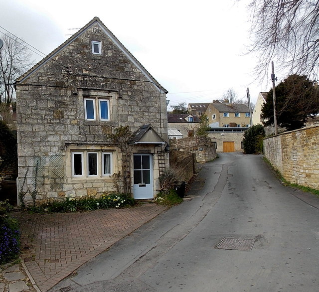
Image: © Jaggery Taken: 23 Mar 2014
Formerly known as Ivy Cottage and now much altered from the original, Dozmary Cottage shows the year 1785 on a panel above the topmost window. Grade II listed in 1990.
Images are licensed for reuse under creativecommons.org/licenses/by-sa/2.0
Image Location


Leaflet Map data © OpenStreetMap
Latitude
51.787067
Longitude
-2.188419