Bestwood Country Park, NG6, Notts
Introduction
The photograph on this page of Bestwood Country Park, NG6, Notts by David Hallam-Jones as part of the Geograph project.
The Geograph project started in 2005 with the aim of publishing, organising and preserving representative images for every square kilometre of Great Britain, Ireland and the Isle of Man.

There are currently over 7.5m images from over 14,400 individuals and you can help contribute to the project by visiting https://www.geograph.org.uk
Bestwood Country Park, NG6, Notts
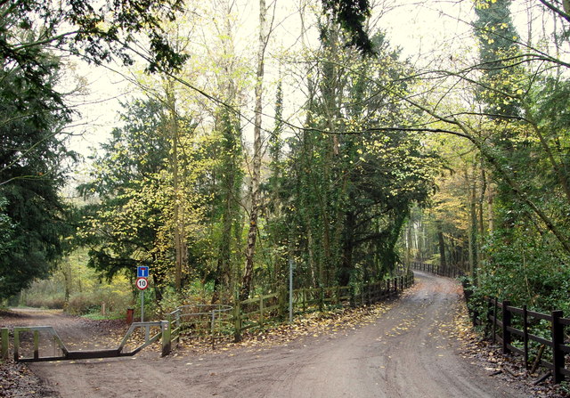
Image: © David Hallam-Jones Taken: 21 Nov 2014
Access to the northern section of Main Drive - beyond the low-slung motor vehicle barrier - is evidently restricted. The road on the right however, carries traffic to the Woodside Riding Stables. Beyond the stables the road (that by this point has become a track) leading to Lamin's Lane, is also part of the Bestwood village - Papplewick village section of the Robin Hood Way.
Images are licensed for reuse under creativecommons.org/licenses/by-sa/2.0
Image Location
Latitude
53.017647
Longitude
-1.15371