Lanwern Road houses north of Llanfair Road, Pontypridd
Introduction
The photograph on this page of Lanwern Road houses north of Llanfair Road, Pontypridd by Jaggery as part of the Geograph project.
The Geograph project started in 2005 with the aim of publishing, organising and preserving representative images for every square kilometre of Great Britain, Ireland and the Isle of Man.

There are currently over 7.5m images from over 14,400 individuals and you can help contribute to the project by visiting https://www.geograph.org.uk
Lanwern Road houses north of Llanfair Road, Pontypridd
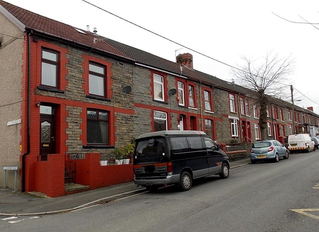
Image: © Jaggery Taken: 19 Nov 2014
The houses face Maes-y-Coed Primary School. Some online sources show Llanwern Road, but maps I consulted and the street name signs here show Lanwern Road.
Images are licensed for reuse under creativecommons.org/licenses/by-sa/2.0
Image Location
Latitude
51.598632
Longitude
-3.350738