Ancaster cross and Launde House
Introduction
The photograph on this page of Ancaster cross and Launde House by Alan Murray-Rust as part of the Geograph project.
The Geograph project started in 2005 with the aim of publishing, organising and preserving representative images for every square kilometre of Great Britain, Ireland and the Isle of Man.

There are currently over 7.5m images from over 14,400 individuals and you can help contribute to the project by visiting https://www.geograph.org.uk
Ancaster cross and Launde House
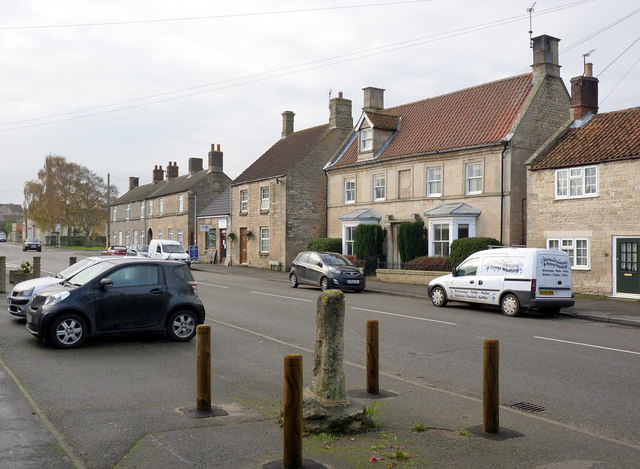
Image: © Alan Murray-Rust Taken: 19 Nov 2014
Launde House (with bay windows) dates from the early 18th century, Listed Grade II. The cross is of 14th century origin, also Listed Grade II and a Scheduled Monument.
Images are licensed for reuse under creativecommons.org/licenses/by-sa/2.0
Image Location
Latitude
52.982704
Longitude
-0.536239