Middle part of Maes-y-Coed Primary School, Pontypridd
Introduction
The photograph on this page of Middle part of Maes-y-Coed Primary School, Pontypridd by Jaggery as part of the Geograph project.
The Geograph project started in 2005 with the aim of publishing, organising and preserving representative images for every square kilometre of Great Britain, Ireland and the Isle of Man.

There are currently over 7.5m images from over 14,400 individuals and you can help contribute to the project by visiting https://www.geograph.org.uk
Middle part of Maes-y-Coed Primary School, Pontypridd
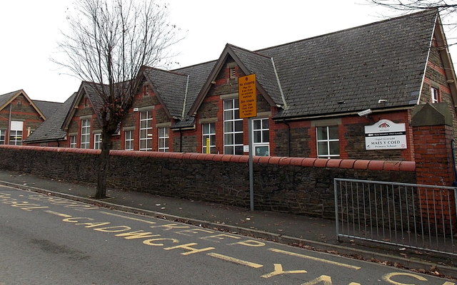
Image: © Jaggery Taken: 19 Nov 2014
The school site extends for more than 100 metres along the east side of Lanwern Street.
Images are licensed for reuse under creativecommons.org/licenses/by-sa/2.0
Image Location
Latitude
51.598101
Longitude
-3.35