Billy Tight's Footbridge south of Congleton, Cheshire
Introduction
The photograph on this page of Billy Tight's Footbridge south of Congleton, Cheshire by Roger D Kidd as part of the Geograph project.
The Geograph project started in 2005 with the aim of publishing, organising and preserving representative images for every square kilometre of Great Britain, Ireland and the Isle of Man.

There are currently over 7.5m images from over 14,400 individuals and you can help contribute to the project by visiting https://www.geograph.org.uk
Billy Tight's Footbridge south of Congleton, Cheshire
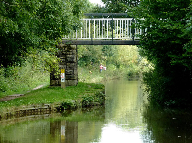
Image: © Roger D Kidd Taken: 4 Sep 2014
Bridge No 78 is a modern replacement bridge for the former swing bridge 150 metres to the north-east. It carries a public footpath and serves the nearby golf course which covers land on both sides of the Macclesfield Canal. Was Billy Tight a local farmer in the 19th century?
Images are licensed for reuse under creativecommons.org/licenses/by-sa/2.0
Image Location
Latitude
53.151442
Longitude
-2.209597