Mormon church in Pontypridd
Introduction
The photograph on this page of Mormon church in Pontypridd by Jaggery as part of the Geograph project.
The Geograph project started in 2005 with the aim of publishing, organising and preserving representative images for every square kilometre of Great Britain, Ireland and the Isle of Man.

There are currently over 7.5m images from over 14,400 individuals and you can help contribute to the project by visiting https://www.geograph.org.uk
Mormon church in Pontypridd
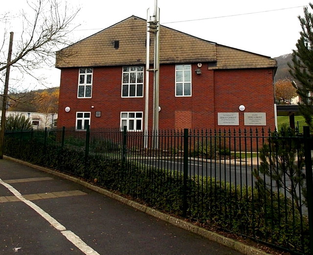
Image: © Jaggery Taken: 19 Nov 2014
On the north side of Gelliwion Road, viewed from this http://www.geograph.org.uk/photo/4253226 path. Though often referred to as Mormons, this religious group refer to themselves as the Church of Jesus Christ of Latter-day Saints, the name on the wall.
Images are licensed for reuse under creativecommons.org/licenses/by-sa/2.0
Image Location
Latitude
51.597575
Longitude
-3.34883