Path from Gelliwion Road to Woodland Road, Pontypridd
Introduction
The photograph on this page of Path from Gelliwion Road to Woodland Road, Pontypridd by Jaggery as part of the Geograph project.
The Geograph project started in 2005 with the aim of publishing, organising and preserving representative images for every square kilometre of Great Britain, Ireland and the Isle of Man.

There are currently over 7.5m images from over 14,400 individuals and you can help contribute to the project by visiting https://www.geograph.org.uk
Path from Gelliwion Road to Woodland Road, Pontypridd
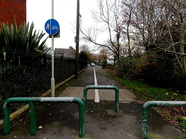
Image: © Jaggery Taken: 19 Nov 2014
The blue sign shows walkers on the left, cyclists on the right.
Images are licensed for reuse under creativecommons.org/licenses/by-sa/2.0
Image Location
Latitude
51.597759
Longitude
-3.348402