Modern dry stone wall, Roman Way, Bourton-on-the-Water
Introduction
The photograph on this page of Modern dry stone wall, Roman Way, Bourton-on-the-Water by Robin Stott as part of the Geograph project.
The Geograph project started in 2005 with the aim of publishing, organising and preserving representative images for every square kilometre of Great Britain, Ireland and the Isle of Man.

There are currently over 7.5m images from over 14,400 individuals and you can help contribute to the project by visiting https://www.geograph.org.uk
Modern dry stone wall, Roman Way, Bourton-on-the-Water
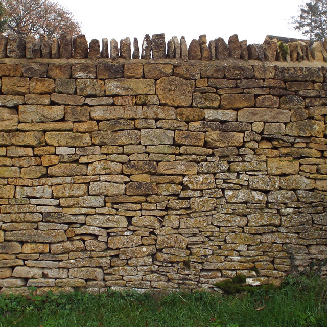
Image: © Robin Stott Taken: 20 Nov 2014
Estimated to be six feet (1·8m) high, at the junction with Station Road.
Images are licensed for reuse under creativecommons.org/licenses/by-sa/2.0
Image Location
Latitude
51.88667
Longitude
-1.753534