Turning area at the southern end of Acorn Grove, Pershore
Introduction
The photograph on this page of Turning area at the southern end of Acorn Grove, Pershore by Jaggery as part of the Geograph project.
The Geograph project started in 2005 with the aim of publishing, organising and preserving representative images for every square kilometre of Great Britain, Ireland and the Isle of Man.

There are currently over 7.5m images from over 14,400 individuals and you can help contribute to the project by visiting https://www.geograph.org.uk
Turning area at the southern end of Acorn Grove, Pershore
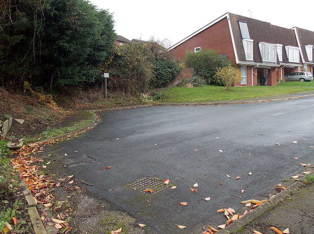
Image: © Jaggery Taken: 16 Nov 2014
A Worcestershire County Council notice shows Turning area. No parking.
Images are licensed for reuse under creativecommons.org/licenses/by-sa/2.0
Image Location
Latitude
52.117332
Longitude
-2.07984