Pipework
Introduction
The photograph on this page of Pipework by Natasha Ceridwen de Chroustchoff as part of the Geograph project.
The Geograph project started in 2005 with the aim of publishing, organising and preserving representative images for every square kilometre of Great Britain, Ireland and the Isle of Man.

There are currently over 7.5m images from over 14,400 individuals and you can help contribute to the project by visiting https://www.geograph.org.uk
Pipework
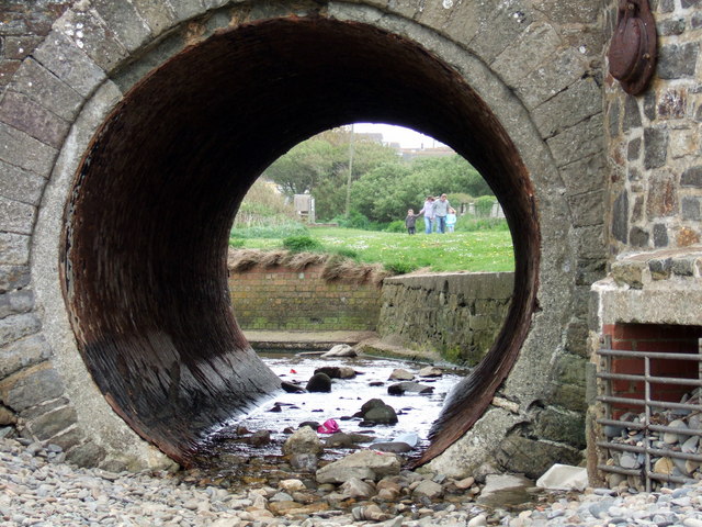
Image: © Natasha Ceridwen de Chroustchoff Taken: 6 May 2007
The stream that meets the sea at Broad Haven has been channelled as it runs under the beach road at this point. The water level is very low. Behind is the area known as Mill Moor, and a caravan holiday camp.
Images are licensed for reuse under creativecommons.org/licenses/by-sa/2.0
Image Location


Leaflet Map data © OpenStreetMap
Latitude
51.783126
Longitude
-5.102629