The Two Counties Way
Introduction
The photograph on this page of The Two Counties Way by Neil Owen as part of the Geograph project.
The Geograph project started in 2005 with the aim of publishing, organising and preserving representative images for every square kilometre of Great Britain, Ireland and the Isle of Man.

There are currently over 7.5m images from over 14,400 individuals and you can help contribute to the project by visiting https://www.geograph.org.uk
The Two Counties Way
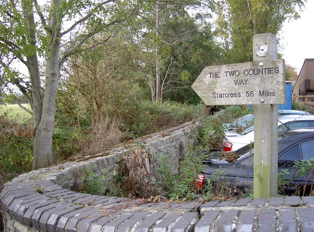
Image: © Neil Owen Taken: 30 Oct 2014
The Two Counties Way Long Distance Path largely follows the Grand Western Canal as it connects Taunton to the Mouth of the River Exe, some 56 miles (90km).
Images are licensed for reuse under creativecommons.org/licenses/by-sa/2.0
Image Location
Latitude
51.018799
Longitude
-3.112829