Common Road
Introduction
The photograph on this page of Common Road by Jonathan Billinger as part of the Geograph project.
The Geograph project started in 2005 with the aim of publishing, organising and preserving representative images for every square kilometre of Great Britain, Ireland and the Isle of Man.

There are currently over 7.5m images from over 14,400 individuals and you can help contribute to the project by visiting https://www.geograph.org.uk
Common Road
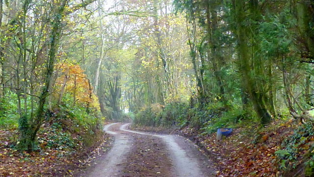
Image: © Jonathan Billinger Taken: 20 Nov 2014
This lane cuts through Yew Tree Wood to get to St. Wulstans Farm at which point it becomes a green lane.
Images are licensed for reuse under creativecommons.org/licenses/by-sa/2.0
Image Location
Latitude
51.852527
Longitude
-2.70657