Benchmark on Walton Bridge
Introduction
The photograph on this page of Benchmark on Walton Bridge by Shantavira as part of the Geograph project.
The Geograph project started in 2005 with the aim of publishing, organising and preserving representative images for every square kilometre of Great Britain, Ireland and the Isle of Man.

There are currently over 7.5m images from over 14,400 individuals and you can help contribute to the project by visiting https://www.geograph.org.uk
Benchmark on Walton Bridge
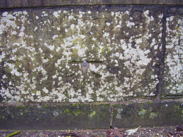
Image: © Shantavira Taken: 15 Nov 2014
This benchmark was established in 1844 during the First primary levelling of England & Wales, and was levelled with a height of 288.4600 feet [87.9226 metres] above mean sea level (Liverpool datum). It was included on the Manchester to Gloucester levelling line. The surveyor's description was "No. 200. Bolt in West face of East battlement of Walton Bridge over river Trent ; 1.85 ft. above centre of road" (Public Abstract p.28). It can be found near the middle of the pedestrians-only old bridge, parallel to the newer main road bridge.
Images are licensed for reuse under creativecommons.org/licenses/by-sa/2.0
Image Location
Latitude
52.897952
Longitude
-2.146977