Farm in Pen-caer
Introduction
The photograph on this page of Farm in Pen-caer by Dylan Moore as part of the Geograph project.
The Geograph project started in 2005 with the aim of publishing, organising and preserving representative images for every square kilometre of Great Britain, Ireland and the Isle of Man.

There are currently over 7.5m images from over 14,400 individuals and you can help contribute to the project by visiting https://www.geograph.org.uk
Farm in Pen-caer
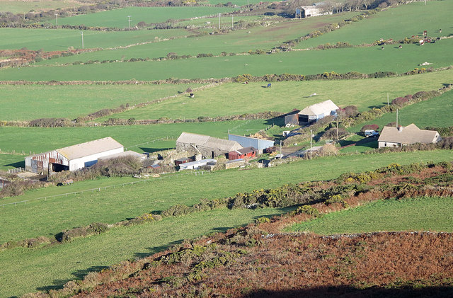
Image: © Dylan Moore Taken: 18 Nov 2014
This Tan-y-mynydd (posh form - the local dialect is Tanmwni) viewed from Garn Fawr. "Tan-y-mynydd" = "below the mountain"
Images are licensed for reuse under creativecommons.org/licenses/by-sa/2.0
Image Location
Latitude
52.011958
Longitude
-5.064243