Up Danygraig Street, Graig, Pontypridd
Introduction
The photograph on this page of Up Danygraig Street, Graig, Pontypridd by Jaggery as part of the Geograph project.
The Geograph project started in 2005 with the aim of publishing, organising and preserving representative images for every square kilometre of Great Britain, Ireland and the Isle of Man.

There are currently over 7.5m images from over 14,400 individuals and you can help contribute to the project by visiting https://www.geograph.org.uk
Up Danygraig Street, Graig, Pontypridd
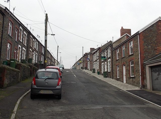
Image: © Jaggery Taken: 19 Nov 2014
Danygraig Street viewed from a tight bend http://www.geograph.org.uk/photo/4251576 near the Graig Street junction.
Images are licensed for reuse under creativecommons.org/licenses/by-sa/2.0
Image Location
Latitude
51.596554
Longitude
-3.343746