Former pub in High Street, Graig, Pontypridd
Introduction
The photograph on this page of Former pub in High Street, Graig, Pontypridd by Jaggery as part of the Geograph project.
The Geograph project started in 2005 with the aim of publishing, organising and preserving representative images for every square kilometre of Great Britain, Ireland and the Isle of Man.

There are currently over 7.5m images from over 14,400 individuals and you can help contribute to the project by visiting https://www.geograph.org.uk
Former pub in High Street, Graig, Pontypridd
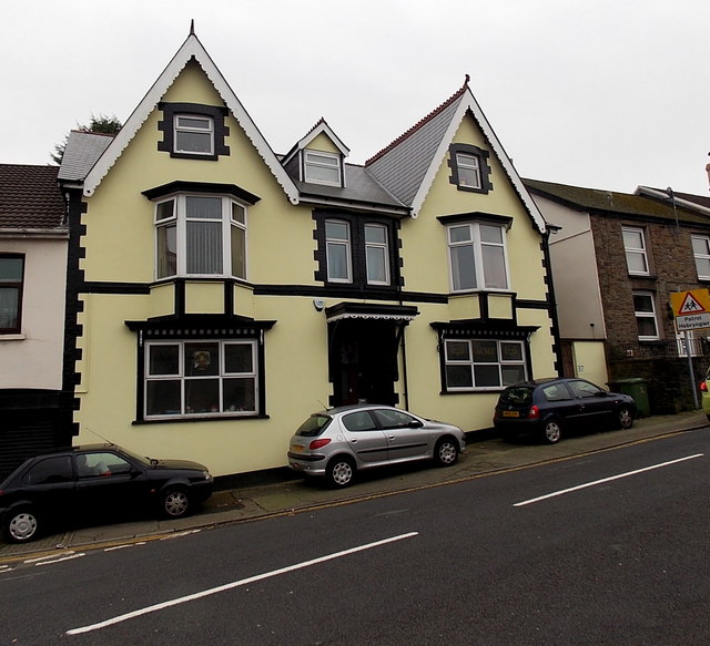
Image: © Jaggery Taken: 19 Nov 2014
The name signs seen here http://www.geograph.org.uk/photo/2757831 in December 2011 have gone in this view taken in November 2014. Formerly the Maritime Arms, earlier The Globe.
Images are licensed for reuse under creativecommons.org/licenses/by-sa/2.0
Image Location
Latitude
51.597458
Longitude
-3.34334