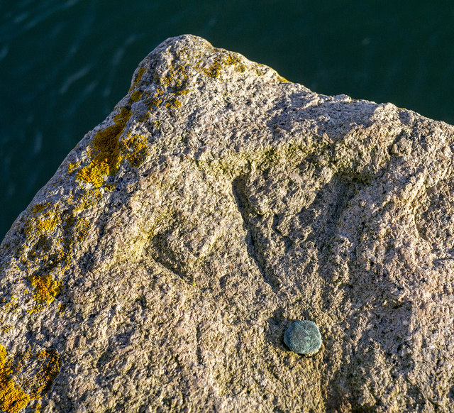
Bench Mark, Killyleagh
Introduction
The photograph on this page of Bench Mark, Killyleagh by Rossographer as part of the Geograph project.
The Geograph project started in 2005 with the aim of publishing, organising and preserving representative images for every square kilometre of Great Britain, Ireland and the Isle of Man.
There are currently over 7.5m images from over 14,400 individuals and you can help contribute to the project by visiting https://www.geograph.org.uk

Image: © Rossographer Taken: 7 Nov 2014
Bolt bench mark located on Killyleagh Quay Image This mark dates from the First Geodetic Levelling of Ireland, 1839-43. The original remarks for the mark describe it as "Copper bolt driven vertically into stonework, level with surface". The mark was initially levelled to 17.234 feet above sea level. Today the mark has been levelled to 2.53 metres above MSL.

