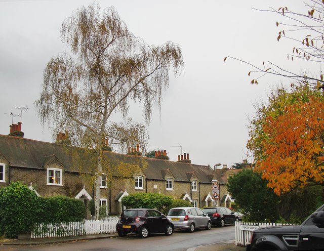
Old East Sheen: cottages in Christchurch Road
Introduction
The photograph on this page of Old East Sheen: cottages in Christchurch Road by Stefan Czapski as part of the Geograph project.
The Geograph project started in 2005 with the aim of publishing, organising and preserving representative images for every square kilometre of Great Britain, Ireland and the Isle of Man.
There are currently over 7.5m images from over 14,400 individuals and you can help contribute to the project by visiting https://www.geograph.org.uk

Image: © Stefan Czapski Taken: 16 Nov 2014
East Sheen was once a hamlet, long since swallowed up by late-Victorian and 20th century suburban development. Narrow streets near 'The Plough' seem to indicate the original location. The row of cottages shown here is of no great antiquity (1870's?) but hints at the scale of the original settlement. Not much else survives, other than The Plough itself, and some small buildings in Well Road. Roughly half of this grid-square is open ground - falling within the boundaries of Richmond Park and Palewell Common. At the time of posting this item, the residential part of the square is under-represented on Geograph; 42 of the 48 existing images are of Richmond Park.

