Twitchell to Mona Street
Introduction
The photograph on this page of Twitchell to Mona Street by David Lally as part of the Geograph project.
The Geograph project started in 2005 with the aim of publishing, organising and preserving representative images for every square kilometre of Great Britain, Ireland and the Isle of Man.

There are currently over 7.5m images from over 14,400 individuals and you can help contribute to the project by visiting https://www.geograph.org.uk
Twitchell to Mona Street
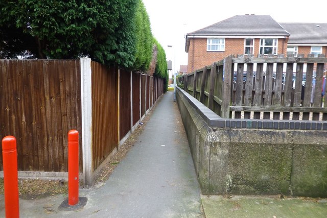
Image: © David Lally Taken: 29 Oct 2014
An "interesting" part of Route 6 of the National Cycling Network. Just to make it more of a challenge there is no drop-kerb at the far end. The red bollards on the left are quite a new addition. I am not sure what they are meant to achieve,
Images are licensed for reuse under creativecommons.org/licenses/by-sa/2.0
Image Location
Latitude
52.923514
Longitude
-1.203725