The A4125 near Defynnog
Introduction
The photograph on this page of The A4125 near Defynnog by John Winder as part of the Geograph project.
The Geograph project started in 2005 with the aim of publishing, organising and preserving representative images for every square kilometre of Great Britain, Ireland and the Isle of Man.

There are currently over 7.5m images from over 14,400 individuals and you can help contribute to the project by visiting https://www.geograph.org.uk
The A4125 near Defynnog
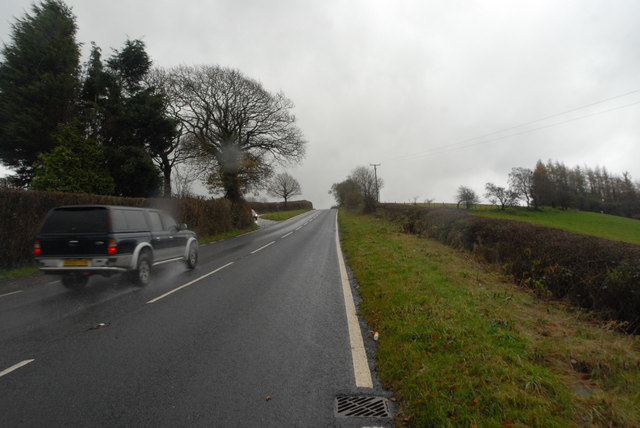
Image: © John Winder Taken: 11 Nov 2014
Taken in the rain. The hill is steeper than it appears here, especially when you're on foot!
Images are licensed for reuse under creativecommons.org/licenses/by-sa/2.0
Image Location
Latitude
51.924474
Longitude
-3.548974