Gromford Lane
Introduction
The photograph on this page of Gromford Lane by Claire Haystead as part of the Geograph project.
The Geograph project started in 2005 with the aim of publishing, organising and preserving representative images for every square kilometre of Great Britain, Ireland and the Isle of Man.

There are currently over 7.5m images from over 14,400 individuals and you can help contribute to the project by visiting https://www.geograph.org.uk
Gromford Lane
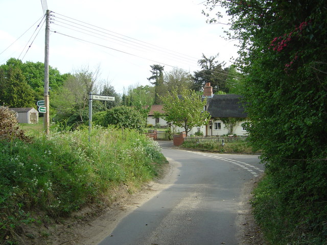
Image: © Claire Haystead Taken: 6 May 2007
Looking South East along Gromford Lane. Photo shows junction with a no through road that leads due South, together with a cottage on the corner. Also visible are the sign pointing to the no through road and signs to two different public footpaths.
Images are licensed for reuse under creativecommons.org/licenses/by-sa/2.0
Image Location


Leaflet Map data © OpenStreetMap
Latitude
52.17607
Longitude
1.492096