Extended houses, Main Street, Low Bradley
Introduction
The photograph on this page of Extended houses, Main Street, Low Bradley by Christine Johnstone as part of the Geograph project.
The Geograph project started in 2005 with the aim of publishing, organising and preserving representative images for every square kilometre of Great Britain, Ireland and the Isle of Man.

There are currently over 7.5m images from over 14,400 individuals and you can help contribute to the project by visiting https://www.geograph.org.uk
Extended houses, Main Street, Low Bradley
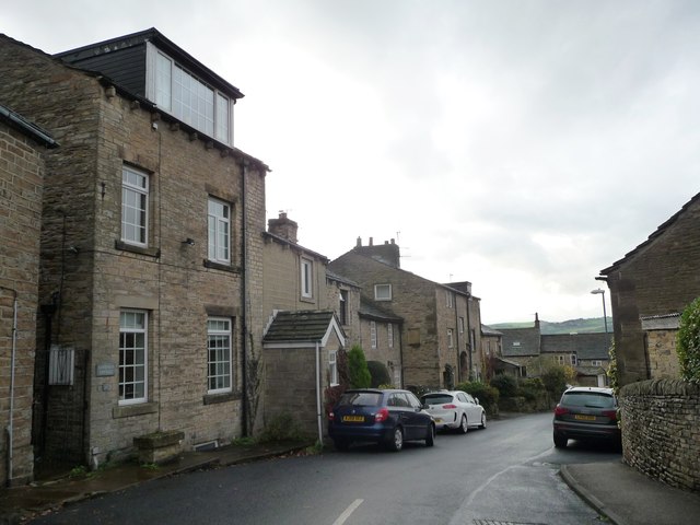
Image: © Christine Johnstone Taken: 12 Nov 2014
On with an attic conversion, one with a porch.
Images are licensed for reuse under creativecommons.org/licenses/by-sa/2.0
Image Location


Leaflet Map data © OpenStreetMap
Latitude
53.930736
Longitude
-1.994176