The main road through Bridgefoot
Introduction
The photograph on this page of The main road through Bridgefoot by Graham Robson as part of the Geograph project.
The Geograph project started in 2005 with the aim of publishing, organising and preserving representative images for every square kilometre of Great Britain, Ireland and the Isle of Man.

There are currently over 7.5m images from over 14,400 individuals and you can help contribute to the project by visiting https://www.geograph.org.uk
The main road through Bridgefoot
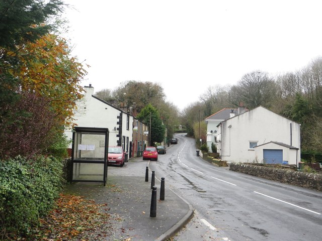
Image: © Graham Robson Taken: 6 Nov 2014
Looking west along the main road through Bridgefoot. A bus shelter for passengers waiting for buses to Workington is on the left side of the road.
Images are licensed for reuse under creativecommons.org/licenses/by-sa/2.0
Image Location
Latitude
54.648485
Longitude
-3.46542