Appin of Dull
Introduction
The photograph on this page of Appin of Dull by Richard Webb as part of the Geograph project.
The Geograph project started in 2005 with the aim of publishing, organising and preserving representative images for every square kilometre of Great Britain, Ireland and the Isle of Man.

There are currently over 7.5m images from over 14,400 individuals and you can help contribute to the project by visiting https://www.geograph.org.uk
Appin of Dull
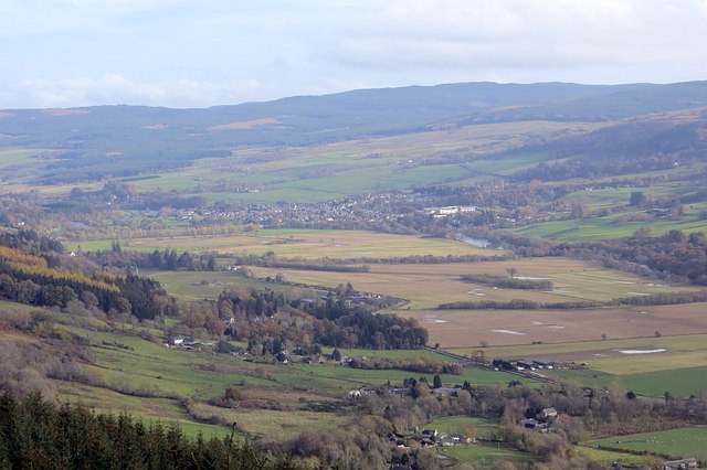
Image: © Richard Webb Taken: 8 Nov 2014
The flat floor of Strath Tay and Aberfeldy seen from the road beside Rock of Dull.
Images are licensed for reuse under creativecommons.org/licenses/by-sa/2.0
Image Location
Latitude
56.61725
Longitude
-3.870508