Footpath leading from Baldersby St. James
Introduction
The photograph on this page of Footpath leading from Baldersby St. James by Chris Heaton as part of the Geograph project.
The Geograph project started in 2005 with the aim of publishing, organising and preserving representative images for every square kilometre of Great Britain, Ireland and the Isle of Man.

There are currently over 7.5m images from over 14,400 individuals and you can help contribute to the project by visiting https://www.geograph.org.uk
Footpath leading from Baldersby St. James
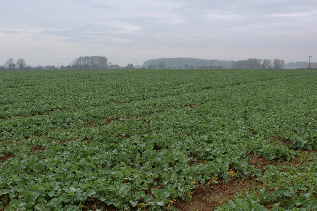
Image: © Chris Heaton Taken: 16 Nov 2014
No, I can't see it either. The public footpath between Baldersby St. James and Baldersby runs straight across this field. The farmer who actually owned the land, was present at the time, and requested me to follow the boundary fence. Both options seemed unattractive due to the muddiness of terrain, so I abandoned the idea altogether
Images are licensed for reuse under creativecommons.org/licenses/by-sa/2.0
Image Location


Leaflet Map data © OpenStreetMap
Latitude
54.18793
Longitude
-1.442465