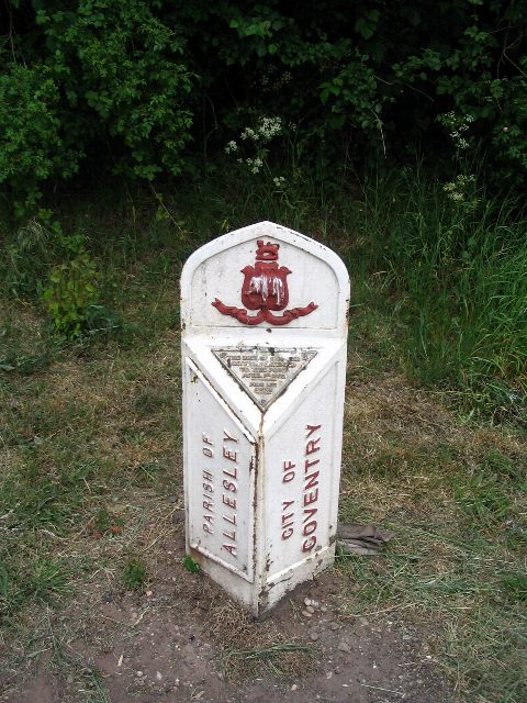
Boundary marker, Allesley
Introduction
The photograph on this page of Boundary marker, Allesley by E Gammie as part of the Geograph project.
The Geograph project started in 2005 with the aim of publishing, organising and preserving representative images for every square kilometre of Great Britain, Ireland and the Isle of Man.
There are currently over 7.5m images from over 14,400 individuals and you can help contribute to the project by visiting https://www.geograph.org.uk

Image: © E Gammie Taken: 6 May 2007
Marks the boundary between Allesley Parish and Coventry City and stands at the junction of The Windmill Hill with the Birmingham Road. The plaque reads "The boundary of the city was extended to this point April 1st 1928. Fred Lee. Mayor". The 1928 extension trebled the area of the city of Coventry from 4,147 to 12,878 acres, enveloping the village of Allesley which lies to the right of this marker. The decoration is the pre-WW2 city crest of (white!) elephant and castle surmounted by a wild cat.

