Footpath to Ham Marshes
Introduction
The photograph on this page of Footpath to Ham Marshes by Marathon as part of the Geograph project.
The Geograph project started in 2005 with the aim of publishing, organising and preserving representative images for every square kilometre of Great Britain, Ireland and the Isle of Man.

There are currently over 7.5m images from over 14,400 individuals and you can help contribute to the project by visiting https://www.geograph.org.uk
Footpath to Ham Marshes
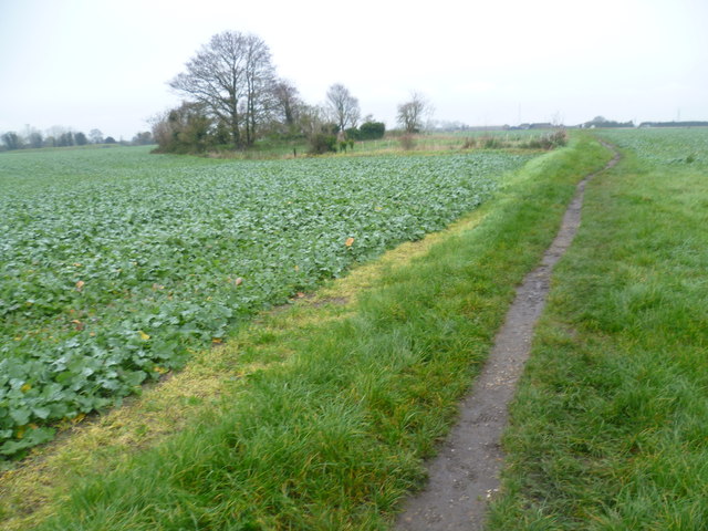
Image: © Marathon Taken: 16 Nov 2014
The Saxon Shore Way out of Faversham along the west side of Faversham Creek leaves the creek for a short distance to pass around The Brents housing estate and industrial estate before heading back to the creekside. A footpath seen here splits away from the Saxon Shore Way and heads out towards Ham Farm and Ham Marshes. Ham Farm is on the horizon here, towards the right of the photograph.
Images are licensed for reuse under creativecommons.org/licenses/by-sa/2.0
Image Location


Leaflet Map data © OpenStreetMap
Latitude
51.323195
Longitude
0.894423