T-junction ahead, Pencoed
Introduction
The photograph on this page of T-junction ahead, Pencoed by Jaggery as part of the Geograph project.
The Geograph project started in 2005 with the aim of publishing, organising and preserving representative images for every square kilometre of Great Britain, Ireland and the Isle of Man.

There are currently over 7.5m images from over 14,400 individuals and you can help contribute to the project by visiting https://www.geograph.org.uk
T-junction ahead, Pencoed
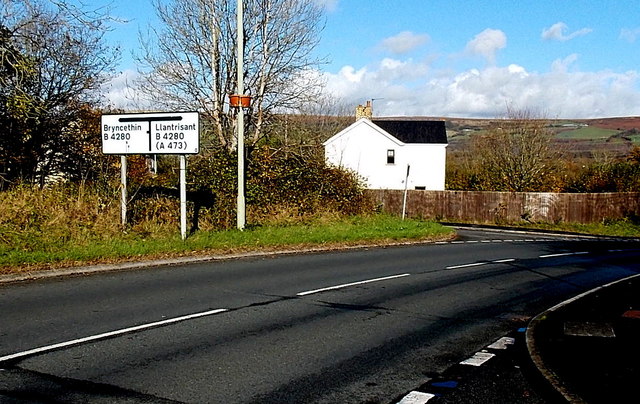
Image: © Jaggery Taken: 14 Nov 2014
Penprysg Road approaches its northern end at the B4280 junction. Left at the junction for Bryncethin or right for Llantrisant.
Images are licensed for reuse under creativecommons.org/licenses/by-sa/2.0
Image Location
Latitude
51.533468
Longitude
-3.496589