Wood east of Ledgemore Lane
Introduction
The photograph on this page of Wood east of Ledgemore Lane by Robin Webster as part of the Geograph project.
The Geograph project started in 2005 with the aim of publishing, organising and preserving representative images for every square kilometre of Great Britain, Ireland and the Isle of Man.

There are currently over 7.5m images from over 14,400 individuals and you can help contribute to the project by visiting https://www.geograph.org.uk
Wood east of Ledgemore Lane
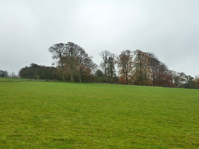
Image: © Robin Webster Taken: 16 Nov 2014
The woodland has developed at the site of old chalk pits.
Images are licensed for reuse under creativecommons.org/licenses/by-sa/2.0
Image Location
Latitude
51.792296
Longitude
-0.498967