Surrey Hills: End of the bridleway
Introduction
The photograph on this page of Surrey Hills: End of the bridleway by Dr Neil Clifton as part of the Geograph project.
The Geograph project started in 2005 with the aim of publishing, organising and preserving representative images for every square kilometre of Great Britain, Ireland and the Isle of Man.

There are currently over 7.5m images from over 14,400 individuals and you can help contribute to the project by visiting https://www.geograph.org.uk
Surrey Hills: End of the bridleway
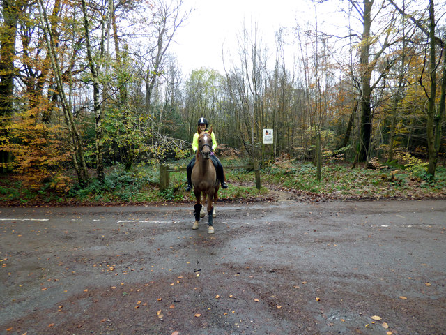
Image: © Dr Neil Clifton Taken: 16 Nov 2014
The rider had just emerged from the bridleway opposite onto the metalled surface of Leith Hill Road
Images are licensed for reuse under creativecommons.org/licenses/by-sa/2.0
Image Location
Latitude
51.183495
Longitude
-0.388476