Welwyn Garden City: Ayot Greenway
Introduction
The photograph on this page of Welwyn Garden City: Ayot Greenway by Nigel Cox as part of the Geograph project.
The Geograph project started in 2005 with the aim of publishing, organising and preserving representative images for every square kilometre of Great Britain, Ireland and the Isle of Man.

There are currently over 7.5m images from over 14,400 individuals and you can help contribute to the project by visiting https://www.geograph.org.uk
Welwyn Garden City: Ayot Greenway
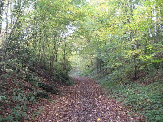
Image: © Nigel Cox Taken: 15 Nov 2014
The Ayot Greenway is a 5 mile or 8 kilometre long path between Welwyn Garden City and Wheathampstead, following the route of the former railway between Welwyn Junction and Luton. The line was opened by the Great Northern Railway in 1860, long before the development of Welwyn Garden City, and was closed in 1965. This is the start of the Greenway at its Welwyn Garden City end just west of the White Bridge.
Images are licensed for reuse under creativecommons.org/licenses/by-sa/2.0
Image Location
Latitude
51.806115
Longitude
-0.207974