St James' Church
Introduction
The photograph on this page of St James' Church by Roger Templeman as part of the Geograph project.
The Geograph project started in 2005 with the aim of publishing, organising and preserving representative images for every square kilometre of Great Britain, Ireland and the Isle of Man.

There are currently over 7.5m images from over 14,400 individuals and you can help contribute to the project by visiting https://www.geograph.org.uk
St James' Church
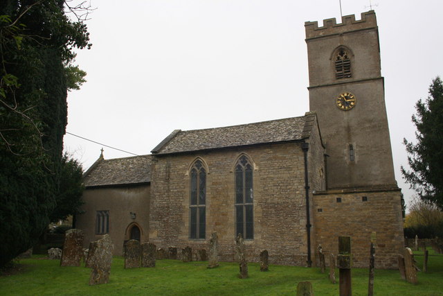
Image: © Roger Templeman Taken: 15 Nov 2014
The church has an OS benchmark Image on its east face on the corner at the left hand edge of the image, and the tower flagstaff served as an OS intersected station trig point, http://trigpointing.uk/trig/19800
Images are licensed for reuse under creativecommons.org/licenses/by-sa/2.0
Image Location
Latitude
51.851114
Longitude
-1.430265