Clochodrick to Burntshields
Introduction
The photograph on this page of Clochodrick to Burntshields by Richard Webb as part of the Geograph project.
The Geograph project started in 2005 with the aim of publishing, organising and preserving representative images for every square kilometre of Great Britain, Ireland and the Isle of Man.

There are currently over 7.5m images from over 14,400 individuals and you can help contribute to the project by visiting https://www.geograph.org.uk
Clochodrick to Burntshields
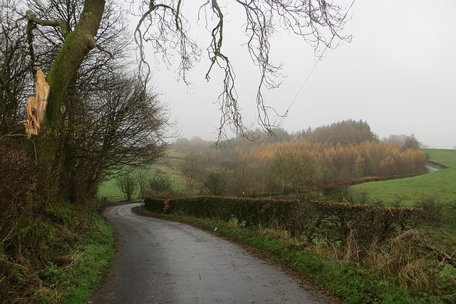
Image: © Richard Webb Taken: 15 Nov 2014
A narrow road which was badly affected, like many in the area on this occasion by thorn hedge trimmings. I had to walk some of the way, but the culprit may be disappointed to hear that I had no punctures - chalk one up for Schwalbe Marathons.
Images are licensed for reuse under creativecommons.org/licenses/by-sa/2.0
Image Location


Leaflet Map data © OpenStreetMap
Latitude
55.819921
Longitude
-4.592571