The entrance to Heresdon Place, Ramsgate Road
Introduction
The photograph on this page of The entrance to Heresdon Place, Ramsgate Road by John Baker as part of the Geograph project.
The Geograph project started in 2005 with the aim of publishing, organising and preserving representative images for every square kilometre of Great Britain, Ireland and the Isle of Man.

There are currently over 7.5m images from over 14,400 individuals and you can help contribute to the project by visiting https://www.geograph.org.uk
The entrance to Heresdon Place, Ramsgate Road
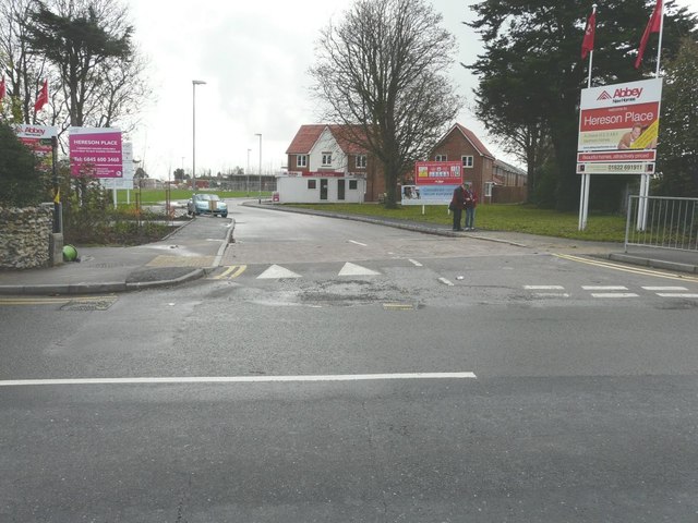
Image: © John Baker Taken: 9 Nov 2014
Planning permission has been granted by Thanet District Council under application number OL/TH/10/0307for an “outline application for the erection of 150 dwellings following the demolition of the existing school”. This was called Heresdon School. As the notice-board indicates, the houses are to be built by Abbey. This is how Image appeared at the start of January 2017.
Images are licensed for reuse under creativecommons.org/licenses/by-sa/2.0
Image Location
Latitude
51.353511
Longitude
1.433298