The Lagan canal, Ballyskeagh (November 2014)
Introduction
The photograph on this page of The Lagan canal, Ballyskeagh (November 2014) by Albert Bridge as part of the Geograph project.
The Geograph project started in 2005 with the aim of publishing, organising and preserving representative images for every square kilometre of Great Britain, Ireland and the Isle of Man.

There are currently over 7.5m images from over 14,400 individuals and you can help contribute to the project by visiting https://www.geograph.org.uk
The Lagan canal, Ballyskeagh (November 2014)
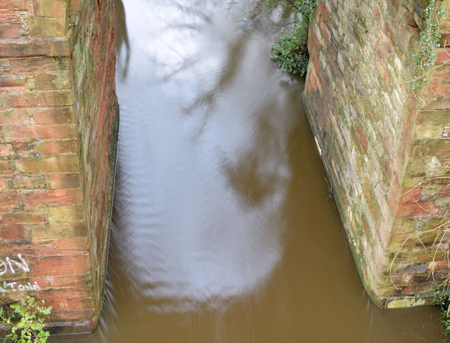
Image: © Albert Bridge Taken: 15 Nov 2014
The view from this footbridge Image showing the full, muddy and disused Lagan canal as it passes under the Ballyskeagh High Bridge on the Ballyskeagh Road. Image (February 2009) shows the canal at a much lower level.
Images are licensed for reuse under creativecommons.org/licenses/by-sa/2.0
Image Location
Latitude
54.534157
Longitude
-6.010371