Manor Place, Aldershot
Introduction
The photograph on this page of Manor Place, Aldershot by David960 as part of the Geograph project.
The Geograph project started in 2005 with the aim of publishing, organising and preserving representative images for every square kilometre of Great Britain, Ireland and the Isle of Man.

There are currently over 7.5m images from over 14,400 individuals and you can help contribute to the project by visiting https://www.geograph.org.uk
Manor Place, Aldershot
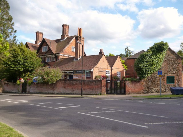
Image: © David960 Taken: 16 Aug 2014
Care home in the former vicarage in Church Lane East.
Images are licensed for reuse under creativecommons.org/licenses/by-sa/2.0
Image Location


Leaflet Map data © OpenStreetMap
Latitude
51.24113
Longitude
-0.756506