Bourbon Street, Aylesbury
Introduction
The photograph on this page of Bourbon Street, Aylesbury by Christopher Hilton as part of the Geograph project.
The Geograph project started in 2005 with the aim of publishing, organising and preserving representative images for every square kilometre of Great Britain, Ireland and the Isle of Man.

There are currently over 7.5m images from over 14,400 individuals and you can help contribute to the project by visiting https://www.geograph.org.uk
Bourbon Street, Aylesbury
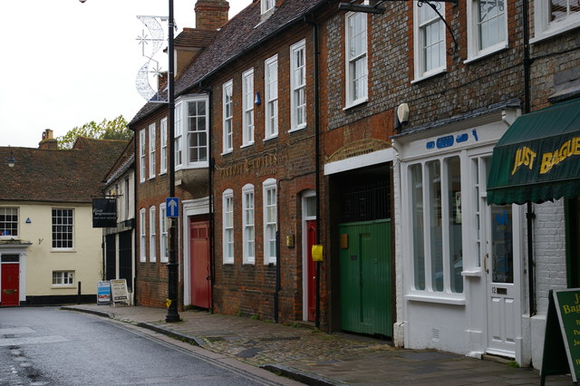
Image: © Christopher Hilton Taken: 8 Nov 2014
Down the west side of the street, old houses and shops in vernacular materials as seen here; unseen on the east side, the Friars Square shopping centre, a contrast which says a lot about how the late twentieth century treated Aylesbury.
Images are licensed for reuse under creativecommons.org/licenses/by-sa/2.0
Image Location
Latitude
51.815947
Longitude
-0.814157