Old Chirk Road from Weston Rhyn towards Gobowen
Introduction
The photograph on this page of Old Chirk Road from Weston Rhyn towards Gobowen by Jaggery as part of the Geograph project.
The Geograph project started in 2005 with the aim of publishing, organising and preserving representative images for every square kilometre of Great Britain, Ireland and the Isle of Man.

There are currently over 7.5m images from over 14,400 individuals and you can help contribute to the project by visiting https://www.geograph.org.uk
Old Chirk Road from Weston Rhyn towards Gobowen
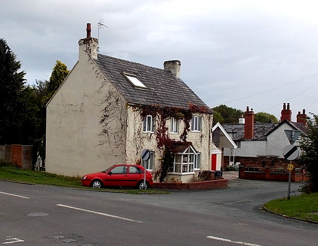
Image: © Jaggery Taken: 16 Oct 2014
On the SE side of crossroads, opposite Weston Rhyn Primary School. http://www.geograph.org.uk/photo/4208255
Images are licensed for reuse under creativecommons.org/licenses/by-sa/2.0
Image Location
Latitude
52.916266
Longitude
-3.056604